
Indonesian Areca Nut Regions: Reading the Supply Map
Explore how to read Indonesia’s areca nut supply geography, distinguish farm origins from export ports, and compare provincial statistics responsibly.
A map of Indonesian areca nut supply should tell the reader what each location represents. A province where palms are grown, a district where fruit is collected and a port where cargo leaves the country are different points in the chain.
Jambi, Aceh and West Sumatra provide useful entry points for reading about production and local research. This article does not rank them by current output: a defensible ranking requires a consistent statistical year, definition and source.
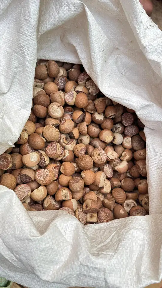
Separate growing origin from the shipping route
Cargo dispatched through a particular port does not necessarily originate in the surrounding district. Collection and transport can connect several production areas with one dispatch point. A shipping document therefore answers a different geographical question from a farm-origin record.
When reading an origin claim, look for the level of detail actually supported. Indonesia, Jambi and a named village are progressively more specific claims. More detail is useful only when the records can sustain it.
Read the units before comparing provinces
A table may report planted area, harvested or productive area, production quantity or the number of growers. These are not substitutes for one another. A province with a large planted area does not necessarily lead in output in the same year.
Also check whether figures are provisional, estimated or final and whether they refer to fresh fruit or another reporting basis. Copying numbers from different publications without those notes can create a ranking that the underlying statistics do not support.
Use local research for the question it actually answers
The documented Betara story connects areca research with Jambi, while exploration work in West Sumatra describes crop diversity. These sources explain particular agricultural contexts; neither alone establishes the current national export ranking.
The best regional reading therefore combines different kinds of evidence without merging them. Research can explain a local population, provincial statistics can describe a measured activity, and shipment records can explain a specific trade movement.
Reference: Betara areca nut and its Jambi context
Build a supply map around handovers
For a business, a useful map includes collection points, processing locations, storage and the planned dispatch route. It should identify where sources are combined and where the lot receives its batch reference. This is more actionable than a map containing only broad province labels.
Regional identity can enrich a product story, but it should not become a guarantee of uniform quality. The actual lot still needs its own description, inspection and traceable records.